
Resources for Local Communities and Governments
 Local Waterfront
Revitalization Program
Designated Waterways
Laws & Regulations
Consistency Decisions
Public Notices
Frequently Asked Questions
Contact Us
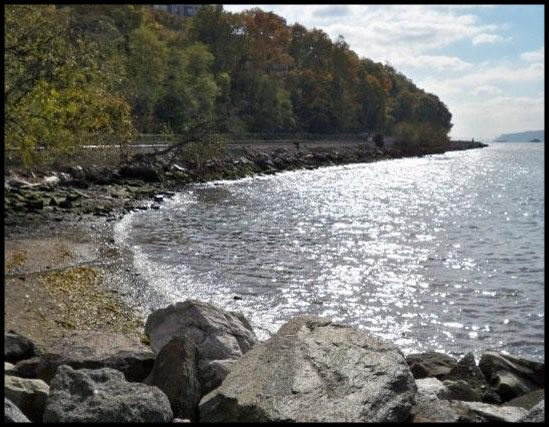
The Village of Dobbs Ferry Local Waterfront Revitalization Program (LWRP) is a locally prepared comprehensive land and water use plan for the Village's natural, public, and developed waterfront resources along the Hudson River, Wickers Creek and Saw Mill River.
The Village of Dobbs Ferry LWRP refines and supplements the State's Coastal Management Program and provides a comprehensive framework within which critical waterfront issues can be addressed, and planned waterfront improvement projects can be pursued and implemented. The approval history of the Village of Dobbs Ferry LWRP was published in a final public notice.
The highlighted text is a download link for the fulll Village of Dobbs Ferry LWRP document.
The links below provide easy access to each part of the Village of Dobbs Ferry LWRP, as approved in 2006:
Executive Summary
Section I. Local Waterfront Revitalization Area Boundary
Section II. Inventory and Analysis
Section III. Waterfront Revitalization Policies
Section IV. Proposed Land and Water Uses and Proposed Projects
Section V. Local Implementation Techniques
Section VI. State and Federal Ations and Programs Likely to Affect Implementation
Section VII. Consultation with Other Affected Agencies
Appendix: Local Laws
Map Gallery
The Village of Dobbs Ferry is making improvements to the Village's Riverfront Park, including shoreline stabilization, and reconstruction of floating docks and a fishing pier.